Interactive postal-code map of France
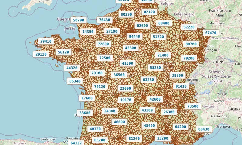
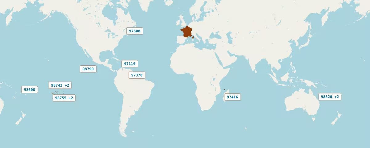
This page lets you browse French postal codes on an interactive map. You can zoom in, zoom out, and move the map. You can search to find a postal code. You can also change the basemap, and show or hide labels on the map.
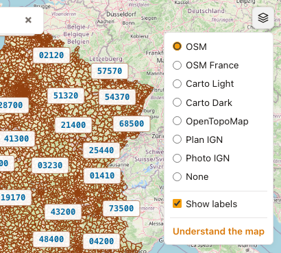
Map options
The button in the top-right corner of the map opens a settings panel. You can choose the basemap, and you can also choose whether to show or hide postal-code labels on the map.
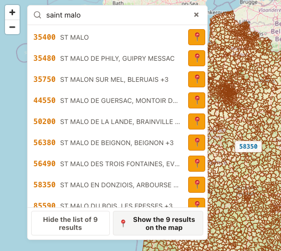
Search in the map
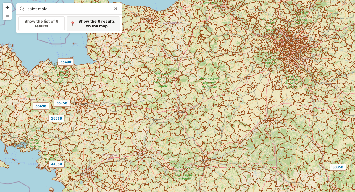
Search either for a postal code or for the name of a commune. A list of results appears: you can hover over a result to highlight its zone on the map, click the “locate 📍” button to move the map to that zone, or click the result to open the postal-code page. You can also click “Show results on the map” to adjust the map view so it includes all search results. Finally, click “Hide list” to keep the list from taking up too much space compared with the map, which is especially useful on mobile.
Limitations
- Some postal codes have approximate contours.
- A postal code is not a commune: several communes can share the same postal code, and a commune can also share several postal codes.